
Tofol topographic map
Interactive map
Click on the map to display elevation.
About this map
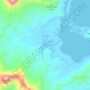
Name: Tofol topographic map, elevation, terrain.
Location: Tofol, Lelu, Kosrae, 96944, Federated States of Micronesia (5.30602 162.98872 5.34602 163.02872)
Average elevation: 92 m
Minimum elevation: -3 m
Maximum elevation: 591 m
Other topographic maps
Click on a map to view its topography, its elevation and its terrain.