
Independence topographic map
Interactive map
Click on the map to display elevation.
About this map
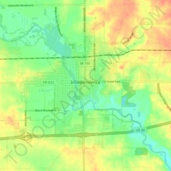
Name: Independence topographic map, elevation, terrain.
Location: Independence, Buchanan County, Iowa, 50644, United States (42.44302 -91.95337 42.49144 -91.86621)
Average elevation: 288 m
Minimum elevation: 266 m
Maximum elevation: 311 m