
Jackson topographic map
Interactive map
Click on the map to display elevation.
About this map
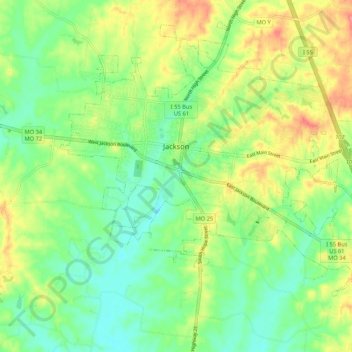
Name: Jackson topographic map, elevation, terrain.
Location: Jackson, Cape Girardeau County, Missouri, United States (37.33845 -89.70343 37.41255 -89.59726)
Average elevation: 145 m
Minimum elevation: 113 m
Maximum elevation: 195 m
Other topographic maps
Click on a map to view its topography, its elevation and its terrain.