
Michaelston-le-Pit and Leckwith topographic map
Interactive map
Click on the map to display elevation.
About this map
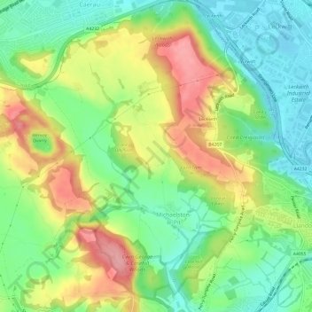
Name: Michaelston-le-Pit and Leckwith topographic map, elevation, terrain.
Average elevation: 52 m
Minimum elevation: 5 m
Maximum elevation: 118 m