
Malacatán topographic map
Interactive map
Click on the map to display elevation.
About this map
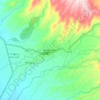
Name: Malacatán topographic map, elevation, terrain.
Location: Malacatán, San Marcos, 12015, Guatemala (14.87078 -92.09847 14.95078 -92.01847)
Average elevation: 409 m
Minimum elevation: 229 m
Maximum elevation: 832 m