
Thank you for supporting this site ❤️
Make a donation
Make a donation
Gear up for your next adventure:
As an Amazon Associate, this site earns from qualifying purchases at no extra cost to you.
Uchiza topographic map
Click on the map to display elevation.
Thank you for supporting this site ❤️
Make a donation
Make a donation
Gear up for your next adventure:
As an Amazon Associate, this site earns from qualifying purchases at no extra cost to you.
About this map
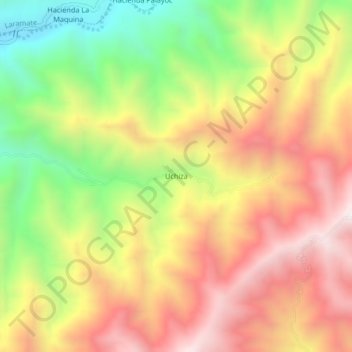
Name: Uchiza topographic map, elevation, terrain.
Location: Uchiza, Ocaña, Lucanas, Ayacucho, Perú (-14.52307 -75.08363 -14.48307 -75.04363)
Average elevation: 1,234 m
Minimum elevation: 675 m
Maximum elevation: 1,732 m
Thank you for supporting this site ❤️
Make a donation
Make a donation
Gear up for your next adventure:
As an Amazon Associate, this site earns from qualifying purchases at no extra cost to you.