
Shanty Town topographic map
Interactive map
Click on the map to display elevation.
About this map
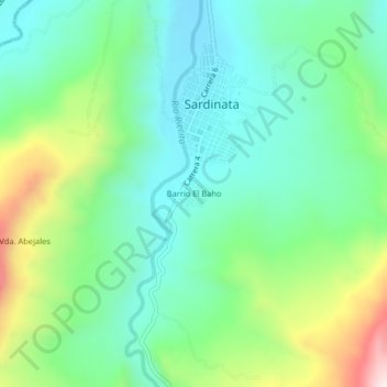
Name: Shanty Town topographic map, elevation, terrain.
Location: Shanty Town, Sardinata, Norte, Norte de Santander, Colombia (8.05482 -72.82193 8.09482 -72.78193)
Average elevation: 451 m
Minimum elevation: 273 m
Maximum elevation: 881 m