
Thank you for supporting this site ❤️
Make a donation
Make a donation
Gear up for your next adventure:
As an Amazon Associate, this site earns from qualifying purchases at no extra cost to you.
Chisquio topographic map
Click on the map to display elevation.
Thank you for supporting this site ❤️
Make a donation
Make a donation
Gear up for your next adventure:
As an Amazon Associate, this site earns from qualifying purchases at no extra cost to you.
About this map
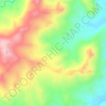
Name: Chisquio topographic map, elevation, terrain.
Location: Chisquio, El Tambo, Centro, Cauca, Colombia (2.49052 -76.86958 2.51052 -76.84958)
Average elevation: 1,772 m
Minimum elevation: 1,643 m
Maximum elevation: 1,900 m
Thank you for supporting this site ❤️
Make a donation
Make a donation
Gear up for your next adventure:
As an Amazon Associate, this site earns from qualifying purchases at no extra cost to you.