
Zoreni topographic map
Interactive map
Click on the map to display elevation.
About this map
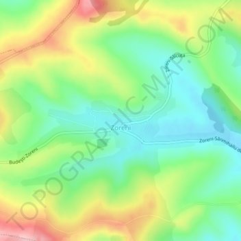
Name: Zoreni topographic map, elevation, terrain.
Location: Zoreni, Bistrița-Năsăud, 427266, Roemenië (46.89382 24.26244 46.90096 24.29256)
Average elevation: 410 m
Minimum elevation: 344 m
Maximum elevation: 515 m