
Glorieta topographic map
Interactive map
Click on the map to display elevation.
About this map
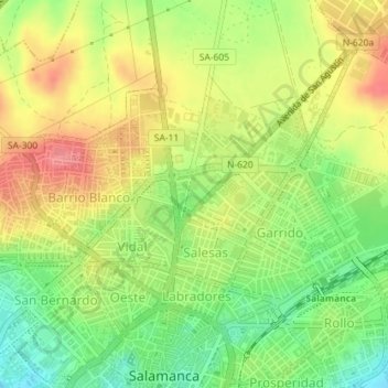
Name: Glorieta topographic map, elevation, terrain.
Location: Glorieta, Salamanca, Castilla y León, España (40.97588 -5.66331 40.97968 -5.65742)
Average elevation: 824 m
Minimum elevation: 783 m
Maximum elevation: 865 m
Other topographic maps
Click on a map to view its topography, its elevation and its terrain.
Salamanca
España > Castilla y León > Salamanca
Salamanca, Castilla y León, España
Average elevation: 812 m