Geolocate

Imbaba topographic map

Interactive map

Click on the map to display elevation.

About this map

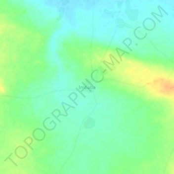
Name: Imbaba topographic map, elevation, terrain.

Location: Imbaba, Téra, Tillabéri Region, Niger (14.54185 0.85205 14.58185 0.89205)

Average elevation: 255 m

Minimum elevation: 243 m

Maximum elevation: 275 m

Other topographic maps

Click on a map to view its topography, its elevation and its terrain.

Zonkom Keyna

Niger > Téra > Zonkom Keyna

Zonkom Keyna, Téra, Tillabéri, Niger

Average elevation: 244 m

Téra

Niger > Téra

Téra, Tillabéri Region, Niger

Average elevation: 261 m