
Stowe topographic map
Interactive map
Click on the map to display elevation.
About this map
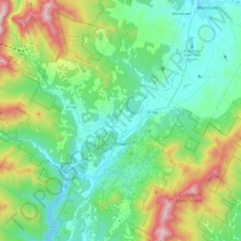
Name: Stowe topographic map, elevation, terrain.
Location: Stowe, Lamoille County, Vermont, Estados Unidos da América (44.39830 -72.83830 44.56340 -72.59728)
Average elevation: 436 m
Minimum elevation: 175 m
Maximum elevation: 1,128 m