
Geiseltalsee topographic map
Interactive map
Click on the map to display elevation.
About this map
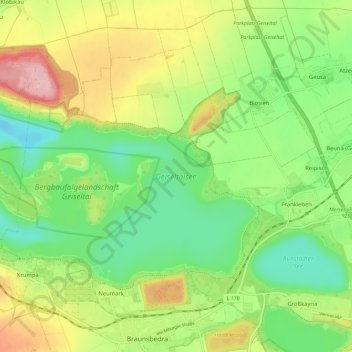
Name: Geiseltalsee topographic map, elevation, terrain.
Location: Geiseltalsee, Braunsbedra, Saalekreis, Saxony-Anhalt, Germany (51.29525 11.80641 51.33930 11.92127)
Average elevation: 112 m
Minimum elevation: 42 m
Maximum elevation: 221 m