
Islam topographic map
Click on the map to display elevation.
About this map
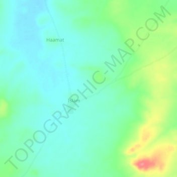
Name: Islam topographic map, elevation, terrain.
Location: Islam, Tanout, Zinder Region, Niger (14.66220 8.51130 14.70220 8.55130)
Average elevation: 497 m
Minimum elevation: 475 m
Maximum elevation: 555 m