
Gurupura - Phalguni topographic map
Interactive map
Click on the map to display elevation.
About this map
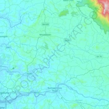
Name: Gurupura - Phalguni topographic map, elevation, terrain.
Average elevation: 94 m
Minimum elevation: -1 m
Maximum elevation: 1,490 m
Other topographic maps
Click on a map to view its topography, its elevation and its terrain.
Bantwal
India > Karnataka > Dakshina Kannada > Bantwal
Bantwal, Dakshina Kannada, Karnataka, 574211, India
Average elevation: 41 m