
Inderapura topographic map
Interactive map
Click on the map to display elevation.
About this map
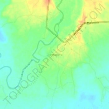
Name: Inderapura topographic map, elevation, terrain.
Location: Inderapura, West Sumatra, Indonesia (-2.07868 100.93683 -2.03868 100.97683)
Average elevation: 19 m
Minimum elevation: 4 m
Maximum elevation: 41 m