
5th District topographic map
Interactive map
Click on the map to display elevation.
About this map
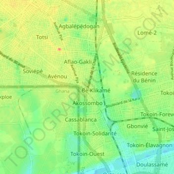
Name: 5th District topographic map, elevation, terrain.
Location: 5th District, Lomé, Togo (6.13662 1.17544 6.20153 1.23008)
Average elevation: 22 m
Minimum elevation: 0 m
Maximum elevation: 49 m
Other topographic maps
Click on a map to view its topography, its elevation and its terrain.