
Garol topographic map
Interactive map
Click on the map to display elevation.
About this map
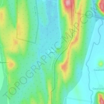
Name: Garol topographic map, elevation, terrain.
Location: Garol, Chittaurgarh Tehsil, Chittorgarh, Rajasthan, India (24.91845 74.80538 24.95845 74.84538)
Average elevation: 460 m
Minimum elevation: 416 m
Maximum elevation: 571 m