
Jauja topographic map
Interactive map
Click on the map to display elevation.
About this map
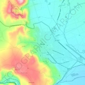
Name: Jauja topographic map, elevation, terrain.
Location: Jauja, Provincia de Jauja, Junín, Perú (-11.79214 -75.51723 -11.75637 -75.45798)
Average elevation: 3,441 m
Minimum elevation: 3,342 m
Maximum elevation: 3,653 m