
南崖 topographic map
Interactive map
Click on the map to display elevation.
About this map
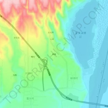
Name: 南崖 topographic map, elevation, terrain.
Location: 南崖, 柳湾村, 芮城县, 运城市, 山西省, 中国 (34.69187 110.86524 34.73187 110.90524)
Average elevation: 378 m
Minimum elevation: 314 m
Maximum elevation: 524 m