
Cotton topographic map
Interactive map
Click on the map to display elevation.
About this map
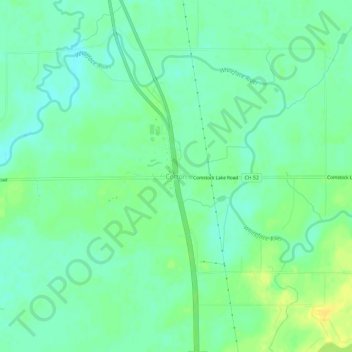
Name: Cotton topographic map, elevation, terrain.
Location: Cotton, Saint Louis County, Minnesota, 55724, United States (47.14938 -92.49630 47.18938 -92.45630)
Average elevation: 405 m
Minimum elevation: 396 m
Maximum elevation: 418 m