
Altlinster topographic map
Interactive map
Click on the map to display elevation.
About this map
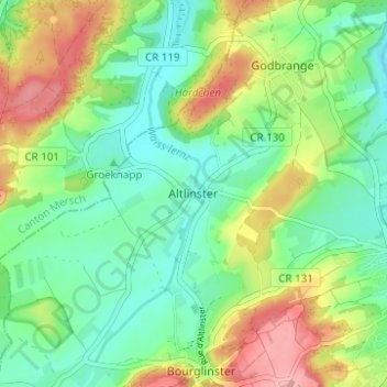
Name: Altlinster topographic map, elevation, terrain.
Location: Altlinster, Junglinster, Canton Grevenmacher, 6150, Luxembourg (49.70152 6.19625 49.74152 6.23625)
Average elevation: 334 m
Minimum elevation: 291 m
Maximum elevation: 411 m