
Nghi Lộc District topographic map
Interactive map
Click on the map to display elevation.
About this map
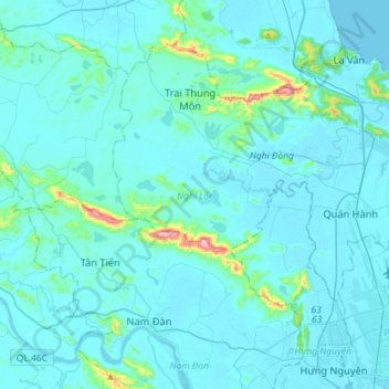
Name: Nghi Lộc District topographic map, elevation, terrain.
Location: Nghi Lộc District, Nghe An province, 460000, Vietnam (18.68757 105.46691 18.89876 105.75453)
Average elevation: 32 m
Minimum elevation: -2 m
Maximum elevation: 455 m