
Heggodu topographic map
Interactive map
Click on the map to display elevation.
About this map
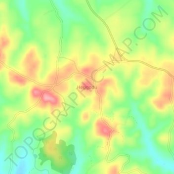
Name: Heggodu topographic map, elevation, terrain.
Location: Heggodu, Sagara taluk, Shimoga district, Karnataka, India (14.07683 75.04979 14.11683 75.08979)
Average elevation: 651 m
Minimum elevation: 597 m
Maximum elevation: 710 m