
Port William topographic map
Interactive map
Click on the map to display elevation.
About this map
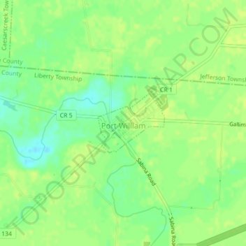
Name: Port William topographic map, elevation, terrain.
Location: Port William, Clinton County, Ohio, 45164, United States (39.54904 -83.78995 39.55554 -83.78047)
Average elevation: 314 m
Minimum elevation: 303 m
Maximum elevation: 319 m
Other topographic maps
Click on a map to view its topography, its elevation and its terrain.
Wilmington
United States > Ohio > Clinton County > Wilmington
Wilmington, Clinton County, Ohio, 45177, United States
Average elevation: 317 m