
Друма topographic map
Interactive map
Click on the map to display elevation.
About this map
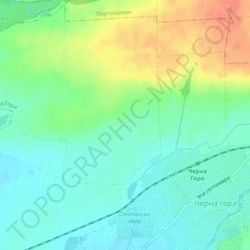
Name: Друма topographic map, elevation, terrain.
Location: Друма, Черна Гора, Bratya Daskalovi, Stara Zagora, Bulgaria (42.21465 25.20666 42.23465 25.22666)
Average elevation: 172 m
Minimum elevation: 155 m
Maximum elevation: 200 m