
Heiden topographic map
Interactive map
Click on the map to display elevation.
About this map
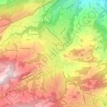
Name: Heiden topographic map, elevation, terrain.
Location: Heiden, Vorderland, Appenzell Ausserrhoden, 9410, Schweiz (47.42217 9.51209 47.46217 9.55209)
Average elevation: 835 m
Minimum elevation: 465 m
Maximum elevation: 1,111 m