
Broomhaugh topographic map
Interactive map
Click on the map to display elevation.
About this map
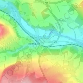
Name: Broomhaugh topographic map, elevation, terrain.
Average elevation: 78 m
Minimum elevation: 14 m
Maximum elevation: 185 m
Other topographic maps
Click on a map to view its topography, its elevation and its terrain.
Styford Wood
United Kingdom > England > Northumberland > Riding Mill > Bywell
Styford Wood, Bywell, Riding Mill, Northumberland, North of Tyne, England, United Kingdom
Average elevation: 64 m