
Kirehe topographic map
Interactive map
Click on the map to display elevation.
About this map
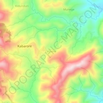
Name: Kirehe topographic map, elevation, terrain.
Location: Kirehe, Kayanza, Burundi (-2.87178 29.53129 -2.83178 29.57129)
Average elevation: 2,019 m
Minimum elevation: 1,788 m
Maximum elevation: 2,277 m