
Kentchurch topographic map
Interactive map
Click on the map to display elevation.
About this map
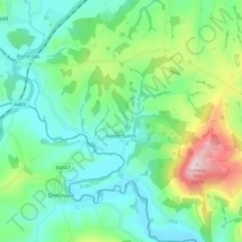
Name: Kentchurch topographic map, elevation, terrain.
Location: Kentchurch, Herefordshire, England, United Kingdom (51.90500 -2.88239 51.95608 -2.81325)
Average elevation: 135 m
Minimum elevation: 49 m
Maximum elevation: 365 m