
Boucheghouf topographic map
Interactive map
Click on the map to display elevation.
About this map
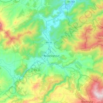
Name: Boucheghouf topographic map, elevation, terrain.
Location: Boucheghouf, Boucheghouf District, Guelma, 24200, Algeria (36.40111 7.63984 36.56021 7.95645)
Average elevation: 356 m
Minimum elevation: 37 m
Maximum elevation: 1,136 m