
Chetouane topographic map
Interactive map
Click on the map to display elevation.
About this map
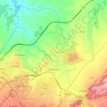
Name: Chetouane topographic map, elevation, terrain.
Location: Chetouane, Tilimsen, 13048, Algeria (34.89362 -1.34558 34.97451 -1.23634)
Average elevation: 546 m
Minimum elevation: 273 m
Maximum elevation: 905 m