
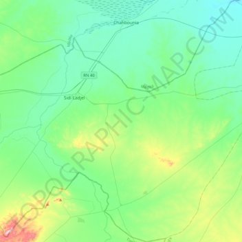
El Khemis topographic map
Interactive map
Click on the map to display elevation.
About this map
Name: El Khemis topographic map, elevation, terrain.
Location: El Khemis, Sidi Ladjel District, Djelfa, Algeria (35.23756 2.52364 35.57243 2.84346)
Average elevation: 731 m
Minimum elevation: 630 m
Maximum elevation: 1,118 m