Geolocate

Tinago topographic map

Click on the map to display elevation.

About this map

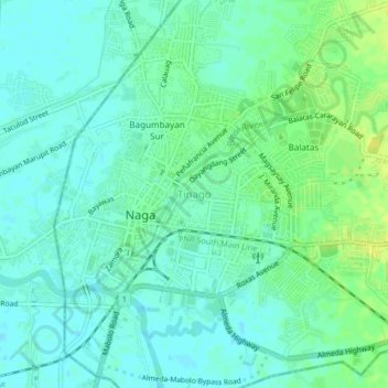
Name: Tinago topographic map, elevation, terrain.

Location: Tinago, Naga, Camarines Sur, Bicol Region, 4400, Philippines (13.60615 123.17074 13.64615 123.21074)

Average elevation: 7 m

Minimum elevation: -1 m

Maximum elevation: 17 m

Gear up for your next adventure:

🔪Outdoor Multi-Tools - Versatile tools for gear repairs and food prep in the wild
🧤Thermal Touchscreen Gloves - Stay warm while operating your GPS or smartphone camera
📸Action Camera Chest Mounts - Record your ascent following topographic paths hands-free
🛰️Handheld GPS Devices - Reliable GPS units for hiking and outdoor navigation
👟Heavy Duty Boot Laces - Always carry a spare for your hiking footwear

As an Amazon Associate, this site earns from qualifying purchases at no extra cost to you.