
Argetoaia topographic map
Interactive map
Click on the map to display elevation.
About this map
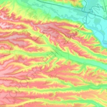
Name: Argetoaia topographic map, elevation, terrain.
Location: Argetoaia, Dolj, Roumanie (44.46140 23.25386 44.54442 23.49617)
Average elevation: 196 m
Minimum elevation: 97 m
Maximum elevation: 307 m
Other topographic maps
Click on a map to view its topography, its elevation and its terrain.