
Rega topographic map
Interactive map
Click on the map to display elevation.
About this map
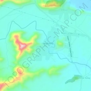
Name: Rega topographic map, elevation, terrain.
Location: Rega, Buner District, Khyber Pakhtunkhwa, Pakistan (34.45184 72.45435 34.49184 72.49435)
Average elevation: 755 m
Minimum elevation: 681 m
Maximum elevation: 1,074 m