
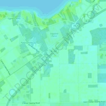
Orange Mills topographic map
Interactive map
Click on the map to display elevation.
About this map
Name: Orange Mills topographic map, elevation, terrain.
Location: Orange Mills, Putnam County, Floride, 32131, États-Unis (29.66497 -81.59314 29.70497 -81.55314)
Average elevation: 6 m
Minimum elevation: 1 m
Maximum elevation: 15 m