
Bay Heights topographic map
Interactive map
Click on the map to display elevation.
About this map
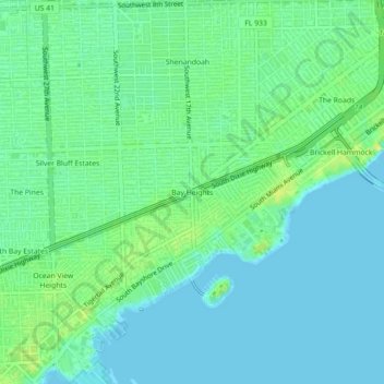
Name: Bay Heights topographic map, elevation, terrain.
Average elevation: 7 m
Minimum elevation: -1 m
Maximum elevation: 21 m
Other topographic maps
Click on a map to view its topography, its elevation and its terrain.
West Little River
United States > Florida > Miami-Dade County > Miami > West Little River
Average elevation: 7 m