
Packington topographic map
Interactive map
Click on the map to display elevation.
About this map
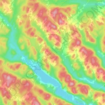
Name: Packington topographic map, elevation, terrain.
Location: Packington, Témiscouata, Bas-Saint-Laurent, Quebec, Canada (47.40377 -68.91196 47.53104 -68.71056)
Average elevation: 311 m
Minimum elevation: 202 m
Maximum elevation: 453 m
Other topographic maps
Click on a map to view its topography, its elevation and its terrain.
Saint-Marc-du-Lac-Long
Canada > Quebec > Témiscouata > Saint-Marc-du-Lac-Long
Average elevation: 258 m
Saint-Éleuthère
Canada > Quebec > Témiscouata > Pohénégamook > Saint-Éleuthère
Average elevation: 296 m