
Wathugedara topographic map
Interactive map
Click on the map to display elevation.
About this map
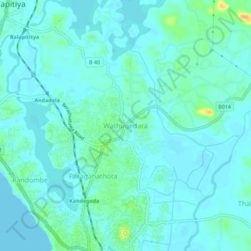
Name: Wathugedara topographic map, elevation, terrain.
Location: Wathugedara, Galle District, Southern Province, 80340, Sri Lanka (6.24116 80.03957 6.28116 80.07957)
Average elevation: 7 m
Minimum elevation: 0 m
Maximum elevation: 35 m