
Latum topographic map
Interactive map
Click on the map to display elevation.
About this map
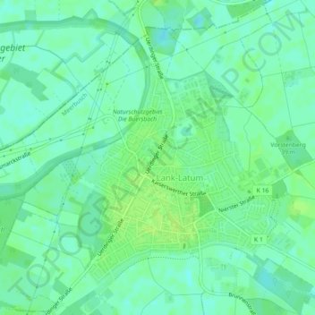
Name: Latum topographic map, elevation, terrain.
Average elevation: 33 m
Minimum elevation: 27 m
Maximum elevation: 38 m
Other topographic maps
Click on a map to view its topography, its elevation and its terrain.
Osterath
Deutschland > Nordrhein-Westfalen > Meerbusch
Osterath, Meerbusch, Rhein-Kreis Neuss, Nordrhein-Westfalen, 40670, Deutschland
Average elevation: 40 m
Strümp
Deutschland > Nordrhein-Westfalen > Meerbusch
Strümp, Meerbusch, Rhein-Kreis Neuss, Nordrhein-Westfalen, Deutschland
Average elevation: 36 m