
轵城 topographic map
Interactive map
Click on the map to display elevation.
About this map
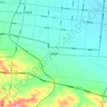
Name: 轵城 topographic map, elevation, terrain.
Location: 轵城, 济源市, 河南省, 中国 (35.00101 112.55171 35.08101 112.63171)
Average elevation: 174 m
Minimum elevation: 138 m
Maximum elevation: 295 m