Geolocate

Villanova topographic map

Click on the map to display elevation.

About this map

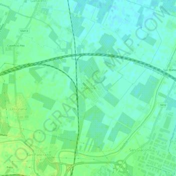
Name: Villanova topographic map, elevation, terrain.

Location: Villanova, Modena, Emilia-Romagna, 41123, Italy (44.66927 10.89560 44.70927 10.93560)

Average elevation: 32 m

Minimum elevation: 26 m

Maximum elevation: 38 m

Gear up for your next adventure:

🎒Backpack Rain Covers - Universal waterproof covers to protect your gear from downpours
👖Convertible Hiking Trousers - Versatile zip-off pants for changing mountain weather conditions
🎒Hiking Child Carriers - Explore the outdoors with the whole family safely
🍳Camping Stoves - Compact stoves for outdoor cooking
🧦Hiking Socks - Breathable socks designed to prevent blisters on long walks

As an Amazon Associate, this site earns from qualifying purchases at no extra cost to you.