
Manurung topographic map
Interactive map
Click on the map to display elevation.
About this map
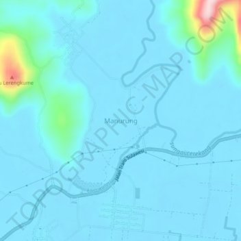
Name: Manurung topographic map, elevation, terrain.
Location: Manurung, South Sulawesi, 92981, Indonesia (-2.59634 120.98600 -2.55634 121.02600)
Average elevation: 24 m
Minimum elevation: -1 m
Maximum elevation: 276 m