
Durnal topographic map
Interactive map
Click on the map to display elevation.
About this map
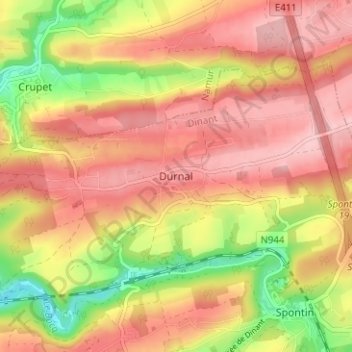
Name: Durnal topographic map, elevation, terrain.
Location: Durnal, Yvoir, Dinant, Namen, Wallonië, 5530S, België (50.31808 4.96573 50.35808 5.00573)
Average elevation: 245 m
Minimum elevation: 150 m
Maximum elevation: 305 m