
Grootegast topographic map
Interactive map
Click on the map to display elevation.
About this map
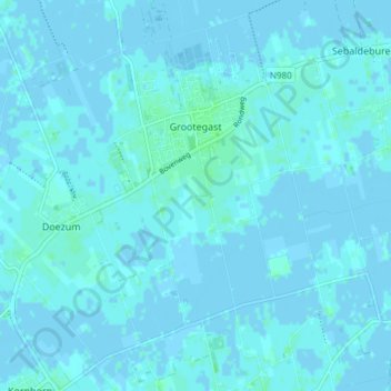
Name: Grootegast topographic map, elevation, terrain.
Location: Grootegast, Westerkwartier, Groningen, Nederland (53.18133 6.25618 53.22596 6.30485)
Average elevation: 1 m
Minimum elevation: -3 m
Maximum elevation: 5 m