
Masodi topographic map
Click on the map to display elevation.
About this map
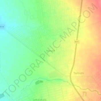
Name: Masodi topographic map, elevation, terrain.
Average elevation: 1,072 m
Minimum elevation: 1,041 m
Maximum elevation: 1,106 m
Other topographic maps
Click on a map to view its topography, its elevation and its terrain.
Mogalakwena Ward 7
South Africa > Limpopo > Waterberg District Municipality > Mogalakwena Local Municipality
Average elevation: 1,076 m
Mogalakwena
South Africa > Limpopo > Waterberg District Municipality > Mogalakwena Local Municipality
Average elevation: 855 m
Mogalakwena Ward 16
South Africa > Limpopo > Waterberg District Municipality > Mogalakwena Local Municipality
Average elevation: 1,190 m