
Thank you for supporting this site ❤️
Make a donation
Make a donation
Gear up for your next adventure:
As an Amazon Associate, this site earns from qualifying purchases at no extra cost to you.
Belén topographic map
Click on the map to display elevation.
Thank you for supporting this site ❤️
Make a donation
Make a donation
Gear up for your next adventure:
As an Amazon Associate, this site earns from qualifying purchases at no extra cost to you.
About this map
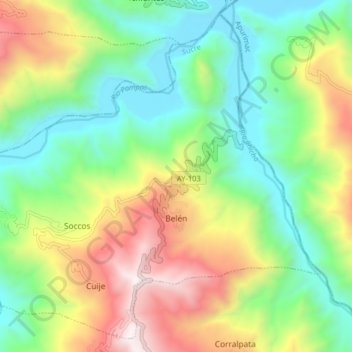
Name: Belén topographic map, elevation, terrain.
Location: Belén, Provincia de Sucre, Ayacucho, Perú (-13.83555 -73.80471 -13.76337 -73.72426)
Average elevation: 2,720 m
Minimum elevation: 2,130 m
Maximum elevation: 3,742 m
Thank you for supporting this site ❤️
Make a donation
Make a donation
Gear up for your next adventure:
As an Amazon Associate, this site earns from qualifying purchases at no extra cost to you.