
Las Piñas River topographic map
Interactive map
Click on the map to display elevation.
About this map
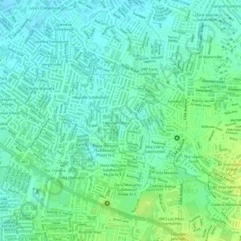
Name: Las Piñas River topographic map, elevation, terrain.
Average elevation: 13 m
Minimum elevation: 5 m
Maximum elevation: 23 m
Other topographic maps
Click on a map to view its topography, its elevation and its terrain.
Pamplona Dos
Pamplona Dos, 1st District, Las Piñas, Metro Manila, Philippines
Average elevation: 12 m
Las Piñas
Las Piñas, 1st District, Fourth District, Metro Manila, Philippines
Average elevation: 26 m