
新城川 topographic map
Interactive map
Click on the map to display elevation.
About this map
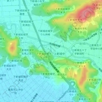
Name: 新城川 topographic map, elevation, terrain.
Location: 新城川, 上新城中字堂ノ前, 秋田市, 秋田県, 010-0135, 日本 (39.78931 140.10230 39.79292 140.11108)
Average elevation: 28 m
Minimum elevation: 5 m
Maximum elevation: 92 m